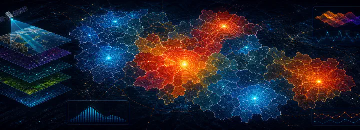
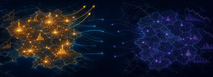
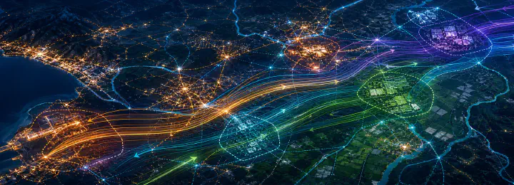
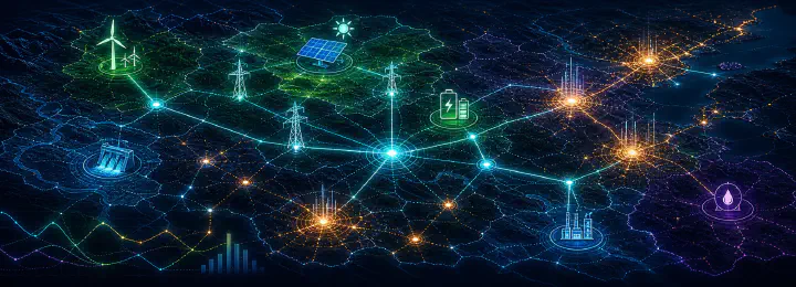
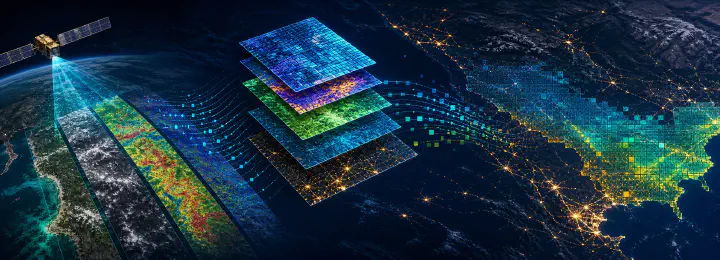
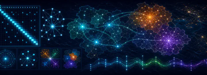
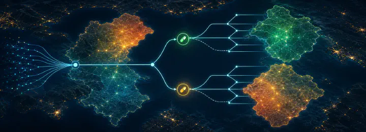
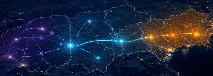
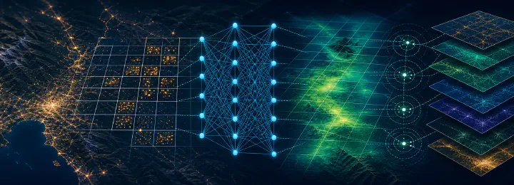
Sustainable Regional Development
The quantitative geography of sustainable development — remote sensing, spatial econometrics, and machine learning.
Our mission
The QuaRCS Network promotes interdisciplinary science to foster economic, social, and environmental sustainability.
The QuaRCS Network is an international, interdisciplinary research network in Quantitative Regional and Computational Science. We combine development economics, spatial data science, machine learning, and satellite remote sensing to understand and inform the process of sustainable development — in its economic, social, and environmental dimensions — across subnational regions and countries.
The QuaRCS network is part of the UN Sustainable Development Solutions Network (SDSN), mobilizing scientific knowledge and innovation to promote sustainable development worldwide.
Five connected research lines advancing the economic, social, and environmental dimensions of sustainable development.
The quantitative geography of sustainable development — remote sensing, spatial econometrics, and machine learning.
Mapping the wealth and inequality of subnations from outer space with satellite remote sensing.
Growth, inequality, and convergence across regions and countries through spatial econometrics and machine learning.
Modeling subnational wealth through spatial spillovers and finding development clusters with machine learning.
The spatial dimensions of energy access, poverty, and the low-carbon transition.
State-of-the-art methods from spatial data science, machine learning, remote sensing, and economics.
A modern, reproducible data-science workflow across all our projects.
The latest advances in applied econometrics, put to work on real questions.
Clustering algorithms from the unsupervised machine-learning literature.
Exploratory spatial and space-time analysis, dependence, and heterogeneity.
Satellite imagery and nighttime lights to measure development from outer space.
Bayesian model averaging and inference under uncertainty.